Irrigation channel
Introduction
The photograph on this page of Irrigation channel by Ray Stanton as part of the Geograph project.
The Geograph project started in 2005 with the aim of publishing, organising and preserving representative images for every square kilometre of Great Britain, Ireland and the Isle of Man.

There are currently over 7.5m images from over 14,400 individuals and you can help contribute to the project by visiting https://www.geograph.org.uk
Irrigation channel
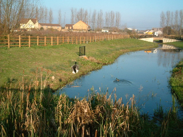
Image: © Ray Stanton Taken: 22 Nov 2005
Disturbed a duck taking this photo. Bridge over Trout Road in distance. Taken from Colne Valley Trail/Beeches Way looking north east.
Images are licensed for reuse under creativecommons.org/licenses/by-sa/2.0
Image Location
Latitude
51.513603
Longitude
-0.482492