Fodder at Coed Canol
Introduction
The photograph on this page of Fodder at Coed Canol by Roger May as part of the Geograph project.
The Geograph project started in 2005 with the aim of publishing, organising and preserving representative images for every square kilometre of Great Britain, Ireland and the Isle of Man.

There are currently over 7.5m images from over 14,400 individuals and you can help contribute to the project by visiting https://www.geograph.org.uk
Fodder at Coed Canol
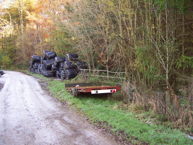
Image: © Roger May Taken: 21 Nov 2005
These silage bales and the trailer appear abandoned by the roadside, but the track is a dead end, leading only to several farms along its 2Km length. the bales are stored conveniently for the fields which they are intended to service.
Images are licensed for reuse under creativecommons.org/licenses/by-sa/2.0
Image Location


Leaflet Map data © OpenStreetMap
Latitude
53.125843
Longitude
-3.504856