Flooded field, Torbryan
Introduction
The photograph on this page of Flooded field, Torbryan by Derek Harper as part of the Geograph project.
The Geograph project started in 2005 with the aim of publishing, organising and preserving representative images for every square kilometre of Great Britain, Ireland and the Isle of Man.

There are currently over 7.5m images from over 14,400 individuals and you can help contribute to the project by visiting https://www.geograph.org.uk
Flooded field, Torbryan
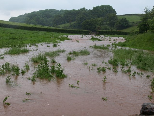
Image: © Derek Harper Taken: 30 May 2008
Looking up the field shown in Image, occupied by the stream after it burst its banks. Up the valley is Clennonpark Wood, in SX8267.
Images are licensed for reuse under creativecommons.org/licenses/by-sa/2.0
Image Location
Latitude
50.488794
Longitude
-3.66041