On Offa's Dyke Path north of Buttington
Introduction
The photograph on this page of On Offa's Dyke Path north of Buttington by Chris Heaton as part of the Geograph project.
The Geograph project started in 2005 with the aim of publishing, organising and preserving representative images for every square kilometre of Great Britain, Ireland and the Isle of Man.

There are currently over 7.5m images from over 14,400 individuals and you can help contribute to the project by visiting https://www.geograph.org.uk
On Offa's Dyke Path north of Buttington
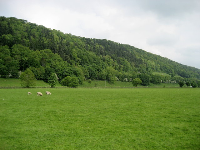
Image: © Chris Heaton Taken: 21 May 2008
Following the National Trail north of Buttington, beside the River Severn. This looks roughly north to woods on the other side of the A483 and Montgomery Canal.
Images are licensed for reuse under creativecommons.org/licenses/by-sa/2.0
Image Location


Leaflet Map data © OpenStreetMap
Latitude
52.67603
Longitude
-3.118242