2008 : Farmland between Little Chalfield and Wraxall
Introduction
The photograph on this page of 2008 : Farmland between Little Chalfield and Wraxall by Maurice Pullin as part of the Geograph project.
The Geograph project started in 2005 with the aim of publishing, organising and preserving representative images for every square kilometre of Great Britain, Ireland and the Isle of Man.

There are currently over 7.5m images from over 14,400 individuals and you can help contribute to the project by visiting https://www.geograph.org.uk
2008 : Farmland between Little Chalfield and Wraxall
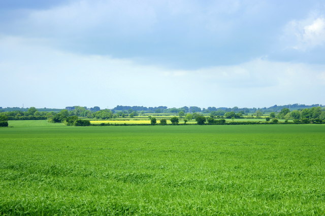
Image: © Maurice Pullin Taken: 30 May 2008
Looking north from Poor House the land rises gently towards Stonar School.
Images are licensed for reuse under creativecommons.org/licenses/by-sa/2.0
Image Location
Latitude
51.370969
Longitude
-2.226641