Footpath east of Sling
Introduction
The photograph on this page of Footpath east of Sling by Eric Jones as part of the Geograph project.
The Geograph project started in 2005 with the aim of publishing, organising and preserving representative images for every square kilometre of Great Britain, Ireland and the Isle of Man.

There are currently over 7.5m images from over 14,400 individuals and you can help contribute to the project by visiting https://www.geograph.org.uk
Footpath east of Sling
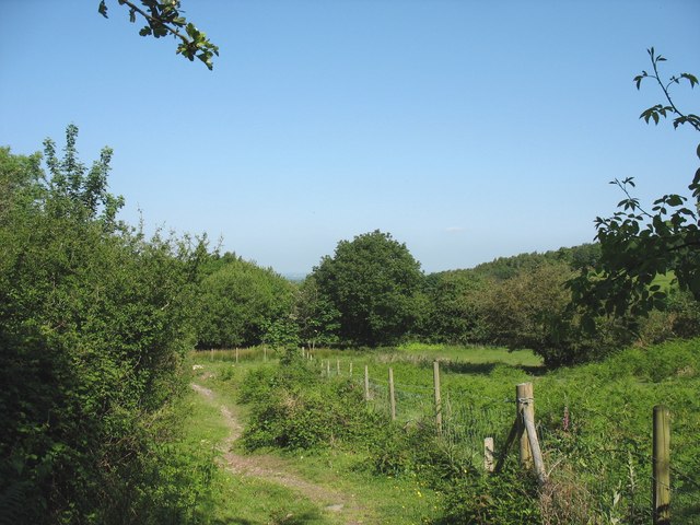
Image: © Eric Jones Taken: 31 May 2008
This one of many paths in the area which were constructed to link the hillside settlements with the Penrhyn Quarry.
Images are licensed for reuse under creativecommons.org/licenses/by-sa/2.0
Image Location


Leaflet Map data © OpenStreetMap
Latitude
53.182428
Longitude
-4.091693