The River Ardle at Enochdhu
Introduction
The photograph on this page of The River Ardle at Enochdhu by Maigheach-gheal as part of the Geograph project.
The Geograph project started in 2005 with the aim of publishing, organising and preserving representative images for every square kilometre of Great Britain, Ireland and the Isle of Man.

There are currently over 7.5m images from over 14,400 individuals and you can help contribute to the project by visiting https://www.geograph.org.uk
The River Ardle at Enochdhu
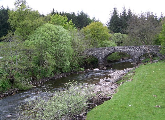
Image: © Maigheach-gheal Taken: 21 May 2008
The River Ardle rises in headstreams which flow down Gleann Fearnach and Glen Brerachan. It flows south eastwards along Strath Ardle before joining the Black Water at Bridge of Cally to become the River Ericht. Looking upstream towards the old bridge which carries the Cateran Trail over the river.
Images are licensed for reuse under creativecommons.org/licenses/by-sa/2.0
Image Location
Latitude
56.745019
Longitude
-3.535584