
Hermon Road, Mynydd Llandygai
Introduction
The photograph on this page of Hermon Road, Mynydd Llandygai by Eric Jones as part of the Geograph project.
The Geograph project started in 2005 with the aim of publishing, organising and preserving representative images for every square kilometre of Great Britain, Ireland and the Isle of Man.

There are currently over 7.5m images from over 14,400 individuals and you can help contribute to the project by visiting https://www.geograph.org.uk
Hermon Road, Mynydd Llandygai
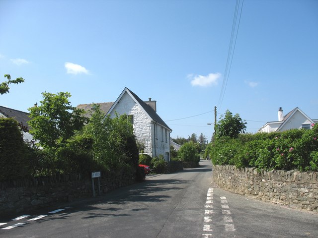
Image: © Eric Jones Taken: 31 May 2008
Hermon Road was the site of the now disappeared Capel Hermon, the village's Calvinistic Methodist Chapel, which could seat 450 people. The other two chapels, both of which also have ceased to be - Amana and Peniel - had seats for a further 550. Although Anglican, the Pennant-Dawkins of Penrhyn tolerated Nonconformist chapels as they helped to keep the workers on "the straight and narrow". The one thing the Penrhyn family would not allow in their model village was the presence of any "corrupting ale house".
Images are licensed for reuse under creativecommons.org/licenses/by-sa/2.0
Image Location

Latitude
53.168602
Longitude
-4.090572