Bracken, rough grazing and rock outcrop
Introduction
The photograph on this page of Bracken, rough grazing and rock outcrop by Eric Jones as part of the Geograph project.
The Geograph project started in 2005 with the aim of publishing, organising and preserving representative images for every square kilometre of Great Britain, Ireland and the Isle of Man.

There are currently over 7.5m images from over 14,400 individuals and you can help contribute to the project by visiting https://www.geograph.org.uk
Bracken, rough grazing and rock outcrop
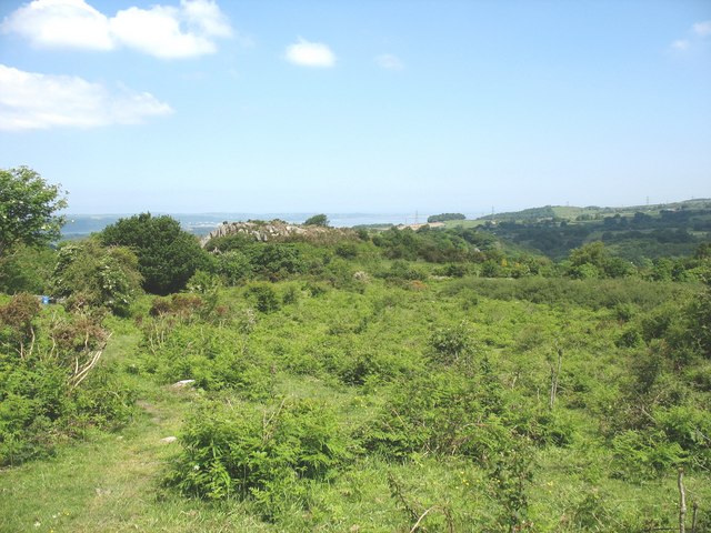
Image: © Eric Jones Taken: 31 May 2008
The rock outcrop, formed of Bronllwyd Grits, is named on large scale maps as Mynydd Llandegai (Llandegai Mountain). It should not to be confused with the village of Mynydd Llandegai some 2kms to the south.
Images are licensed for reuse under creativecommons.org/licenses/by-sa/2.0
Image Location
Latitude
53.184797
Longitude
-4.084774