Woodley Junction
Introduction
The photograph on this page of Woodley Junction by Peter Whatley as part of the Geograph project.
The Geograph project started in 2005 with the aim of publishing, organising and preserving representative images for every square kilometre of Great Britain, Ireland and the Isle of Man.

There are currently over 7.5m images from over 14,400 individuals and you can help contribute to the project by visiting https://www.geograph.org.uk
Woodley Junction
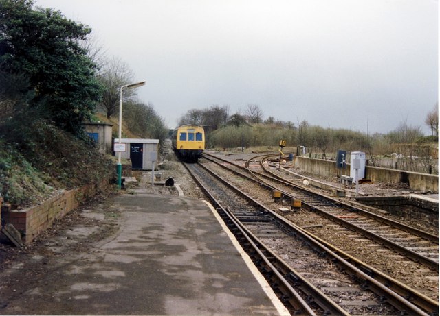
Image: © Peter Whatley Taken: 24 Mar 1989
Hard to believe that this was once a major junction, with frequent freight traffic as late as the 1970s over the right hand route, especially coal from Yorkshire to Fiddlers Ferry electricity generating station.
Images are licensed for reuse under creativecommons.org/licenses/by-sa/2.0
Image Location
Latitude
53.428173
Longitude
-2.09357