Former quarry near Antrim
Introduction
The photograph on this page of Former quarry near Antrim by Albert Bridge as part of the Geograph project.
The Geograph project started in 2005 with the aim of publishing, organising and preserving representative images for every square kilometre of Great Britain, Ireland and the Isle of Man.

There are currently over 7.5m images from over 14,400 individuals and you can help contribute to the project by visiting https://www.geograph.org.uk
Former quarry near Antrim
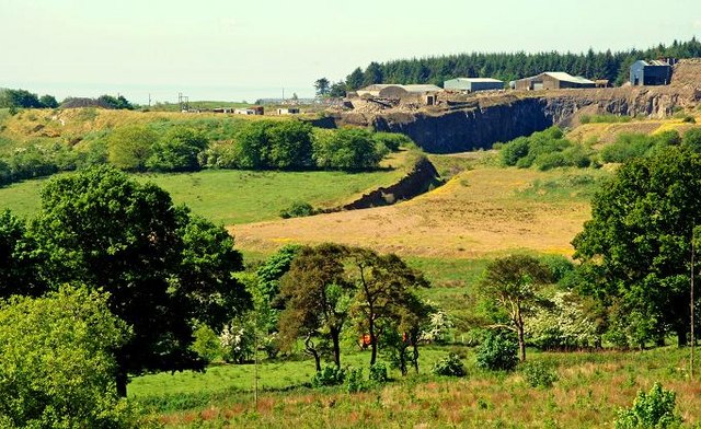
Image: © Albert Bridge Taken: 2 Jun 2008
The disused quarry at Ladyhill is now likely to become a landfill site. The photograph is submitted as a record of a feature of the square. I have no opinion for or against the change of use.
Images are licensed for reuse under creativecommons.org/licenses/by-sa/2.0
Image Location
Latitude
54.757744
Longitude
-6.179003