Anzac Street, Dartmouth
Introduction
The photograph on this page of Anzac Street, Dartmouth by Derek Harper as part of the Geograph project.
The Geograph project started in 2005 with the aim of publishing, organising and preserving representative images for every square kilometre of Great Britain, Ireland and the Isle of Man.

There are currently over 7.5m images from over 14,400 individuals and you can help contribute to the project by visiting https://www.geograph.org.uk
Anzac Street, Dartmouth
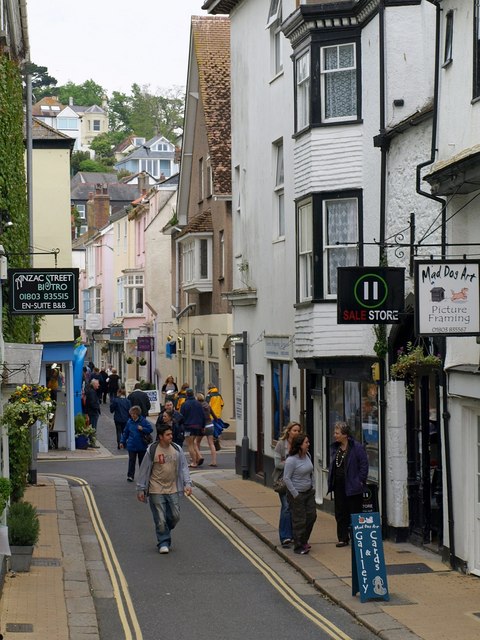
Image: © Derek Harper Taken: 24 May 2008
The street was formerly known as Hanover Square. Could there be a link through the Dardanelles, in which Anzac troops and HMS Dartmouth both fought in the First World War?
Images are licensed for reuse under creativecommons.org/licenses/by-sa/2.0
Image Location
Latitude
50.351417
Longitude
-3.579425