Part of Stisted village
Introduction
The photograph on this page of Part of Stisted village by Robert Edwards as part of the Geograph project.
The Geograph project started in 2005 with the aim of publishing, organising and preserving representative images for every square kilometre of Great Britain, Ireland and the Isle of Man.

There are currently over 7.5m images from over 14,400 individuals and you can help contribute to the project by visiting https://www.geograph.org.uk
Part of Stisted village
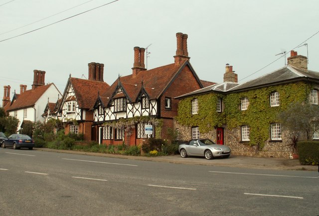
Image: © Robert Edwards Taken: 23 May 2008
These are just a few of the many attractive houses in the village of Stisted near Braintree.
Images are licensed for reuse under creativecommons.org/licenses/by-sa/2.0
Image Location


Leaflet Map data © OpenStreetMap
Latitude
51.89179
Longitude
0.614114