St. Andrew; the parish church of Colne Engaine
Introduction
The photograph on this page of St. Andrew; the parish church of Colne Engaine by Robert Edwards as part of the Geograph project.
The Geograph project started in 2005 with the aim of publishing, organising and preserving representative images for every square kilometre of Great Britain, Ireland and the Isle of Man.

There are currently over 7.5m images from over 14,400 individuals and you can help contribute to the project by visiting https://www.geograph.org.uk
St. Andrew; the parish church of Colne Engaine
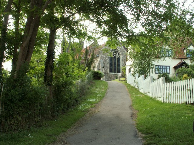
Image: © Robert Edwards Taken: 23 May 2008
This is the approach from Mill Lane. The church has a Norman nave and has many re-used Roman bricks in its fabric. The lower part of the tower is 14th century and its upper brick section was added in the 16th century.
Images are licensed for reuse under creativecommons.org/licenses/by-sa/2.0
Image Location


Leaflet Map data © OpenStreetMap
Latitude
51.940877
Longitude
0.690594