Brierley's Farm from footpath to Barr Lane
Introduction
The photograph on this page of Brierley's Farm from footpath to Barr Lane by Hugh Craddock as part of the Geograph project.
The Geograph project started in 2005 with the aim of publishing, organising and preserving representative images for every square kilometre of Great Britain, Ireland and the Isle of Man.

There are currently over 7.5m images from over 14,400 individuals and you can help contribute to the project by visiting https://www.geograph.org.uk
Brierley's Farm from footpath to Barr Lane
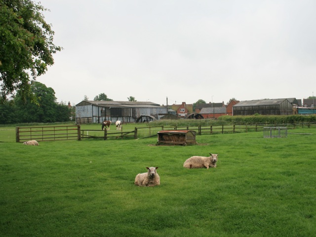
Image: © Hugh Craddock Taken: 28 May 2008
A footpath runs from Barr Lane (off Broad Street), via the Recreation Ground, to this field, from where separate paths lead to Coventry Road, Walker's Terrace and Smeaton Lane. Nearby is Brierley's Farm.
Images are licensed for reuse under creativecommons.org/licenses/by-sa/2.0
Image Location


Leaflet Map data © OpenStreetMap
Latitude
52.411892
Longitude
-1.366322