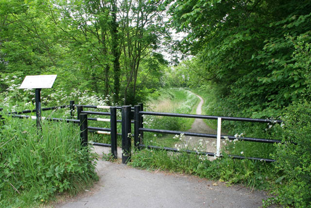
Towpath access at Blue Hill Bridge
Introduction
The photograph on this page of Towpath access at Blue Hill Bridge by Kate Jewell as part of the Geograph project.
The Geograph project started in 2005 with the aim of publishing, organising and preserving representative images for every square kilometre of Great Britain, Ireland and the Isle of Man.
There are currently over 7.5m images from over 14,400 individuals and you can help contribute to the project by visiting https://www.geograph.org.uk

Image: © Kate Jewell Taken: 20 May 2008
Blue Hill Bridge, on the Grantham Canal, was flattened and culverted during road improvements in the 1950s. Along with many other similar cases on the canal route this means the towpath is no longer continuous and access is by ramps from the road. The footpath and cycleway along the canal is a popular recreational resource.

