St Peter's Lane, Canterbury
Introduction
The photograph on this page of St Peter's Lane, Canterbury by Stephen McKay as part of the Geograph project.
The Geograph project started in 2005 with the aim of publishing, organising and preserving representative images for every square kilometre of Great Britain, Ireland and the Isle of Man.

There are currently over 7.5m images from over 14,400 individuals and you can help contribute to the project by visiting https://www.geograph.org.uk
St Peter's Lane, Canterbury
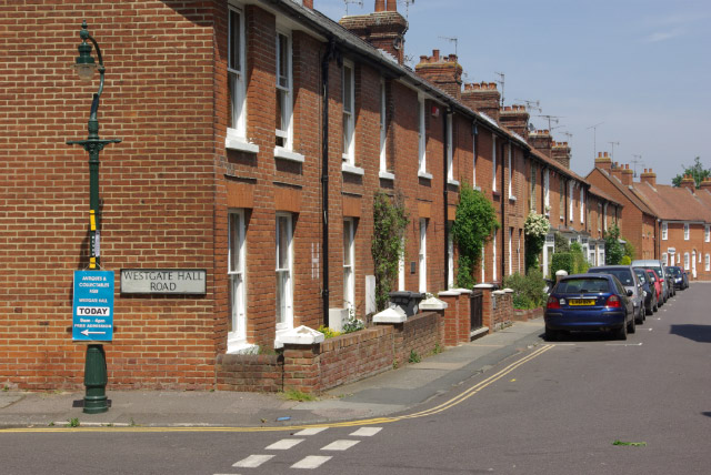
Image: © Stephen McKay Taken: 24 May 2008
Terraced housing between St Peter's Street and St Radigund's Street - nowadays a much sought-after part of town.
Images are licensed for reuse under creativecommons.org/licenses/by-sa/2.0
Image Location
Latitude
51.281279
Longitude
1.0778