Brown Moss Nature Reserve
Introduction
The photograph on this page of Brown Moss Nature Reserve by Charles Leventon as part of the Geograph project.
The Geograph project started in 2005 with the aim of publishing, organising and preserving representative images for every square kilometre of Great Britain, Ireland and the Isle of Man.

There are currently over 7.5m images from over 14,400 individuals and you can help contribute to the project by visiting https://www.geograph.org.uk
Brown Moss Nature Reserve
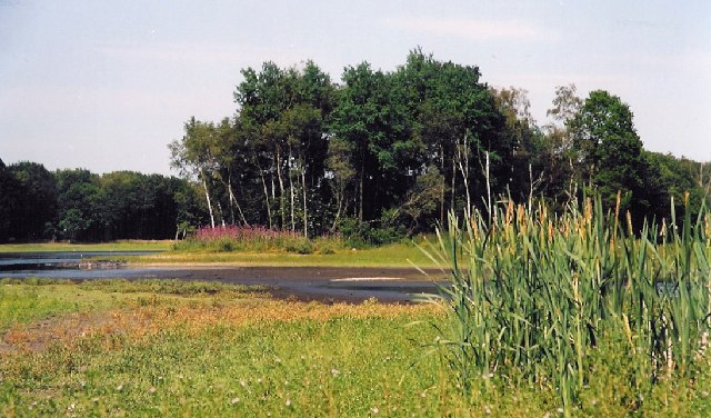
Image: © Charles Leventon Taken: Unknown
The water level in the meres was particularly low at the time when this picture was taken - July 2005
Images are licensed for reuse under creativecommons.org/licenses/by-sa/2.0
Image Location


Leaflet Map data © OpenStreetMap
Latitude
52.948392
Longitude
-2.651822