The Bat & Ball, Canterbury
Introduction
The photograph on this page of The Bat & Ball, Canterbury by Stephen McKay as part of the Geograph project.
The Geograph project started in 2005 with the aim of publishing, organising and preserving representative images for every square kilometre of Great Britain, Ireland and the Isle of Man.

There are currently over 7.5m images from over 14,400 individuals and you can help contribute to the project by visiting https://www.geograph.org.uk
The Bat & Ball, Canterbury
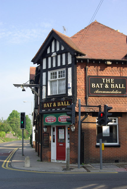
Image: © Stephen McKay Taken: 24 May 2008
Pub named for its proximity to Kent County Cricket Ground on the corner of Old Dover Road and St Lawrence Road.
Images are licensed for reuse under creativecommons.org/licenses/by-sa/2.0
Image Location
Latitude
51.269315
Longitude
1.091482