Caversham
Introduction
The photograph on this page of Caversham by Rosalind Mitchell as part of the Geograph project.
The Geograph project started in 2005 with the aim of publishing, organising and preserving representative images for every square kilometre of Great Britain, Ireland and the Isle of Man.

There are currently over 7.5m images from over 14,400 individuals and you can help contribute to the project by visiting https://www.geograph.org.uk
Caversham
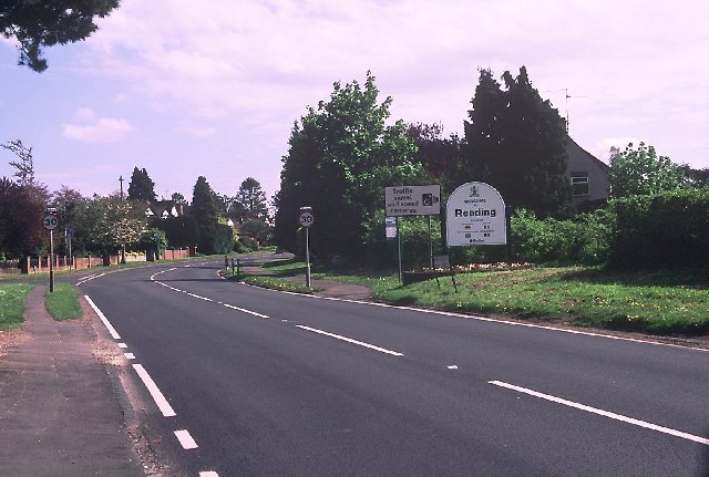
Image: © Rosalind Mitchell Taken: 2 May 2005
Entering the Borough of Reading on the A4074 from Oxford. A much warmer welcome than that in SU7169 (qv)! The drive from Oxford via Wallingford across the downs is quite delightful.
Images are licensed for reuse under creativecommons.org/licenses/by-sa/2.0
Image Location


Leaflet Map data © OpenStreetMap
Latitude
51.483193
Longitude
-1.00052