Drakemyre
Introduction
The photograph on this page of Drakemyre by Derek Gray as part of the Geograph project.
The Geograph project started in 2005 with the aim of publishing, organising and preserving representative images for every square kilometre of Great Britain, Ireland and the Isle of Man.

There are currently over 7.5m images from over 14,400 individuals and you can help contribute to the project by visiting https://www.geograph.org.uk
Drakemyre
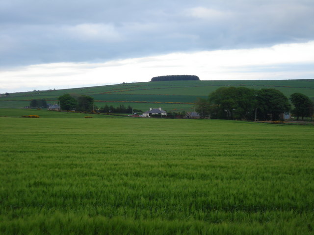
Image: © Derek Gray Taken: 29 May 2008
Drakemyre from the Arnage to Stuartfield road. Typical Banff & Buchan farm land
Images are licensed for reuse under creativecommons.org/licenses/by-sa/2.0
Image Location
Latitude
57.444631
Longitude
-2.063294