A 5127, Watford Gap, Traffic Island
Introduction
The photograph on this page of A 5127, Watford Gap, Traffic Island by Graham Taylor as part of the Geograph project.
The Geograph project started in 2005 with the aim of publishing, organising and preserving representative images for every square kilometre of Great Britain, Ireland and the Isle of Man.

There are currently over 7.5m images from over 14,400 individuals and you can help contribute to the project by visiting https://www.geograph.org.uk
A 5127, Watford Gap, Traffic Island
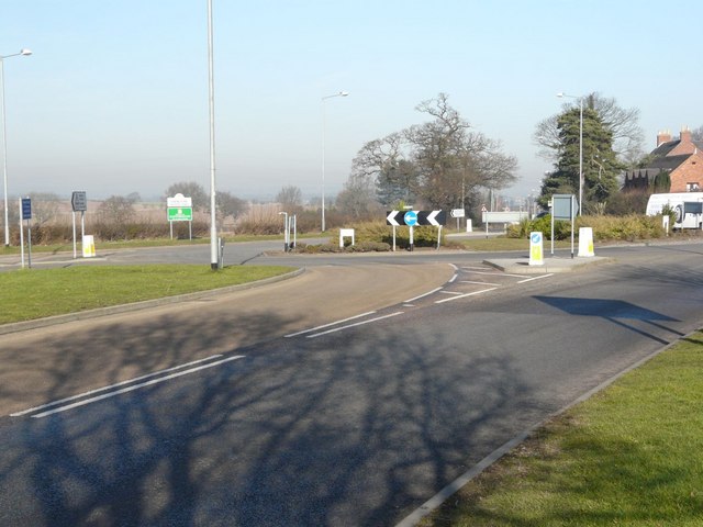
Image: © Graham Taylor Taken: 12 Feb 2008
Although shown on OS maps as a crossroads the junction has been an island for several years, following a number of fatal accidents at the junction.
Images are licensed for reuse under creativecommons.org/licenses/by-sa/2.0
Image Location
Latitude
52.607121
Longitude
-1.838114