Brindley village green
Introduction
The photograph on this page of Brindley village green by Espresso Addict as part of the Geograph project.
The Geograph project started in 2005 with the aim of publishing, organising and preserving representative images for every square kilometre of Great Britain, Ireland and the Isle of Man.

There are currently over 7.5m images from over 14,400 individuals and you can help contribute to the project by visiting https://www.geograph.org.uk
Brindley village green
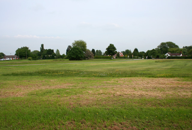
Image: © Espresso Addict Taken: 29 May 2008
The large triangular area of common land by the A534 in the centre of Brindley consists of grass with occasional small trees, and is bisected by Brindley Lea Lane (centre)
Images are licensed for reuse under creativecommons.org/licenses/by-sa/2.0
Image Location
Latitude
53.075272
Longitude
-2.610301