Crossroads off Knapp Lane, Ledbury
Introduction
The photograph on this page of Crossroads off Knapp Lane, Ledbury by Pauline E as part of the Geograph project.
The Geograph project started in 2005 with the aim of publishing, organising and preserving representative images for every square kilometre of Great Britain, Ireland and the Isle of Man.

There are currently over 7.5m images from over 14,400 individuals and you can help contribute to the project by visiting https://www.geograph.org.uk
Crossroads off Knapp Lane, Ledbury
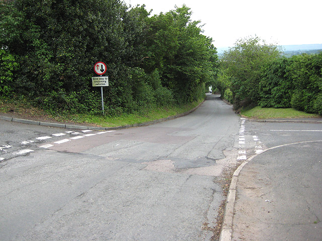
Image: © Pauline E Taken: 30 May 2008
To the left, Bank Crescent; to the right, Knapp Ridge. The road drops steeply into the town and is a popular cut through to the A449, Worcester Road.
Images are licensed for reuse under creativecommons.org/licenses/by-sa/2.0
Image Location


Leaflet Map data © OpenStreetMap
Latitude
52.043054
Longitude
-2.423507