Aerial Photo of Pitlochry
Introduction
The photograph on this page of Aerial Photo of Pitlochry by alistair cameron as part of the Geograph project.
The Geograph project started in 2005 with the aim of publishing, organising and preserving representative images for every square kilometre of Great Britain, Ireland and the Isle of Man.

There are currently over 7.5m images from over 14,400 individuals and you can help contribute to the project by visiting https://www.geograph.org.uk
Aerial Photo of Pitlochry
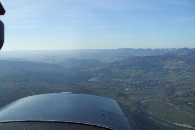
Image: © alistair cameron Taken: 4 Apr 2007
Picture taken from a Cessna 152 "G-TFCI" at altitude 2500' on the 4th of April 2007 during a navigation exercise.
Images are licensed for reuse under creativecommons.org/licenses/by-sa/2.0
Image Location
Latitude
56.705705
Longitude
-3.724773