Nottingham incinerator
Introduction
The photograph on this page of Nottingham incinerator by Alan Murray-Rust as part of the Geograph project.
The Geograph project started in 2005 with the aim of publishing, organising and preserving representative images for every square kilometre of Great Britain, Ireland and the Isle of Man.

There are currently over 7.5m images from over 14,400 individuals and you can help contribute to the project by visiting https://www.geograph.org.uk
Nottingham incinerator
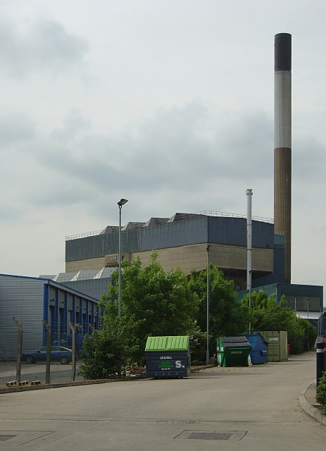
Image: © Alan Murray-Rust Taken: 29 May 2008
Viewed from Meadow Lane, from the south east (the incinerator is actually in the neighbouring square). The Midland Railway main line via Oakham and Melton Mowbray used to enter the city roughly here.
Images are licensed for reuse under creativecommons.org/licenses/by-sa/2.0
Image Location
Latitude
52.94505
Longitude
-1.133995