Public Footpath in Clarendon Park
Introduction
The photograph on this page of Public Footpath in Clarendon Park by peter lloyd as part of the Geograph project.
The Geograph project started in 2005 with the aim of publishing, organising and preserving representative images for every square kilometre of Great Britain, Ireland and the Isle of Man.

There are currently over 7.5m images from over 14,400 individuals and you can help contribute to the project by visiting https://www.geograph.org.uk
Public Footpath in Clarendon Park
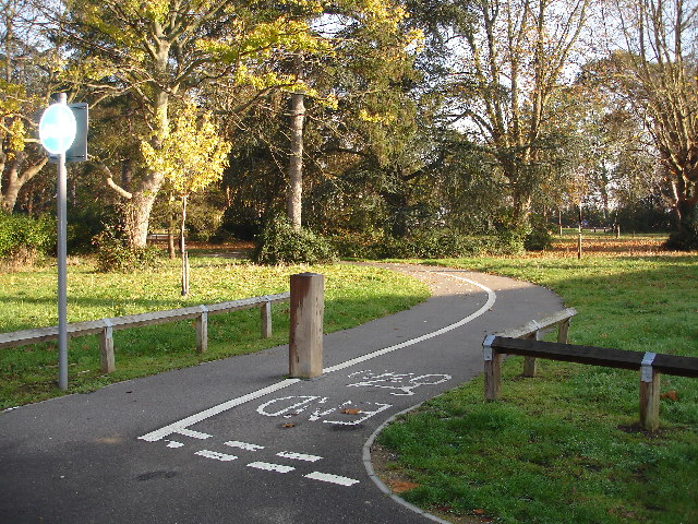
Image: © peter lloyd Taken: 19 Nov 2005
Clarendon Park is a new housing development situated on a former hospital site.
Images are licensed for reuse under creativecommons.org/licenses/by-sa/2.0
Image Location


Leaflet Map data © OpenStreetMap
Latitude
51.350822
Longitude
-0.285391