Holmesdale School
Introduction
The photograph on this page of Holmesdale School by Ian Capper as part of the Geograph project.
The Geograph project started in 2005 with the aim of publishing, organising and preserving representative images for every square kilometre of Great Britain, Ireland and the Isle of Man.

There are currently over 7.5m images from over 14,400 individuals and you can help contribute to the project by visiting https://www.geograph.org.uk
Holmesdale School
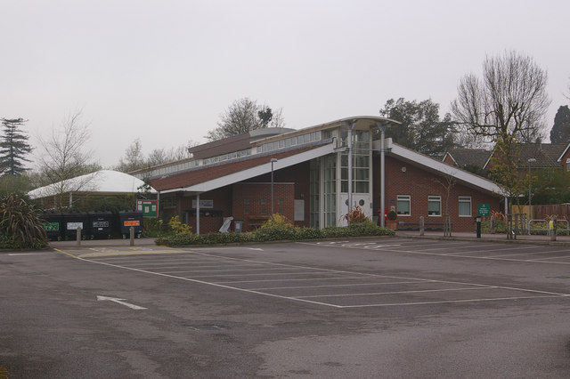
Image: © Ian Capper Taken: 20 Apr 2008
A Community Infant School. It moved to this site in March 1996, having previously been on a site in Holmesdale Road, along from Reigate Station, for over 120 years (see Image).
Images are licensed for reuse under creativecommons.org/licenses/by-sa/2.0
Image Location
Latitude
51.245613
Longitude
-0.202407