Railway bridge south of the Selhurst depot
Introduction
The photograph on this page of Railway bridge south of the Selhurst depot by Andy Potter as part of the Geograph project.
The Geograph project started in 2005 with the aim of publishing, organising and preserving representative images for every square kilometre of Great Britain, Ireland and the Isle of Man.

There are currently over 7.5m images from over 14,400 individuals and you can help contribute to the project by visiting https://www.geograph.org.uk
Railway bridge south of the Selhurst depot
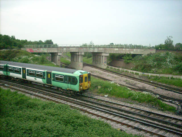
Image: © Andy Potter Taken: 27 May 2008
The train shown is travelling south towards West Croydon (to the right) and will pass under the second viaduct which I am about to pass over, travelling south towards East Croydon. I think this is (or was) known as the Gloucester Road junction in 1872 but the embankment and bridge shown are more recent additions.
Images are licensed for reuse under creativecommons.org/licenses/by-sa/2.0
Image Location
Latitude
51.388126
Longitude
-0.085828