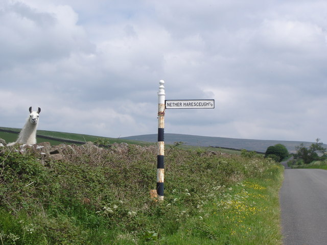
Road junction near Nether Haresceugh farm
Introduction
The photograph on this page of Road junction near Nether Haresceugh farm by Stuart St John as part of the Geograph project.
The Geograph project started in 2005 with the aim of publishing, organising and preserving representative images for every square kilometre of Great Britain, Ireland and the Isle of Man.
There are currently over 7.5m images from over 14,400 individuals and you can help contribute to the project by visiting https://www.geograph.org.uk

Image: © Stuart St John Taken: 29 May 2008
This is the turning for Nether Haresceugh farm off the minor road linking High Bankhill and Renwick. The road provides access to Scales Farm and runs in a SW to NE direction. A lone llama (not an alpaca, as we first thought) made odd noises and pulled a range of peculiar faces at us as though preparing to spit on our map! Fortunately we returned home with camera and map spit-free...

