Friths Drive
Introduction
The photograph on this page of Friths Drive by Ian Capper as part of the Geograph project.
The Geograph project started in 2005 with the aim of publishing, organising and preserving representative images for every square kilometre of Great Britain, Ireland and the Isle of Man.

There are currently over 7.5m images from over 14,400 individuals and you can help contribute to the project by visiting https://www.geograph.org.uk
Friths Drive
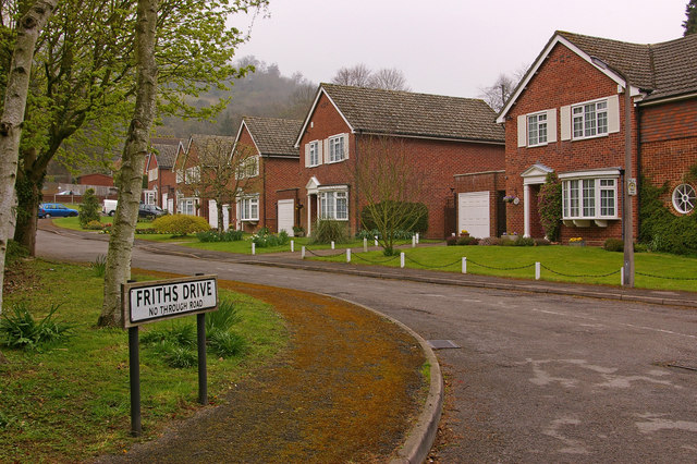
Image: © Ian Capper Taken: 20 Apr 2008
Friths Drive is presumably named after the Frith family, whose company operated a photographic printing works in Reigate (see Image). The Godfrey Edition of an 1895 streetmap of Reigate mentions "St Ippolyts" on Reigate Hill as being the home of Eustace Frith, who was Francis Frith's son and who, with his brother Cyril, continued the work of Francis after his death in 1898. Although there is no indication of the precise location of St Ippolyts, either on that map or on other early maps I've seen, the proximity of Friths Drive to Reigate Hill suggests that it may have been in the immediate locality.
Images are licensed for reuse under creativecommons.org/licenses/by-sa/2.0
Image Location


Leaflet Map data © OpenStreetMap
Latitude
51.249198
Longitude
-0.20105