The end of the A4120 in Ponterwyd
Introduction
The photograph on this page of The end of the A4120 in Ponterwyd by Nigel Brown as part of the Geograph project.
The Geograph project started in 2005 with the aim of publishing, organising and preserving representative images for every square kilometre of Great Britain, Ireland and the Isle of Man.

There are currently over 7.5m images from over 14,400 individuals and you can help contribute to the project by visiting https://www.geograph.org.uk
The end of the A4120 in Ponterwyd
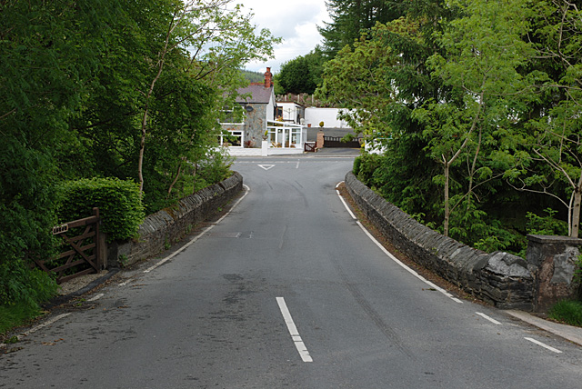
Image: © Nigel Brown Taken: 29 May 2008
Crossing the old but solid stone bridge over the Afon Castell, before terminating at the junction with the A44 on the other side.
Images are licensed for reuse under creativecommons.org/licenses/by-sa/2.0
Image Location


Leaflet Map data © OpenStreetMap
Latitude
52.411405
Longitude
-3.839897