Llanwinio Common
Introduction
The photograph on this page of Llanwinio Common by Marion Phillips as part of the Geograph project.
The Geograph project started in 2005 with the aim of publishing, organising and preserving representative images for every square kilometre of Great Britain, Ireland and the Isle of Man.

There are currently over 7.5m images from over 14,400 individuals and you can help contribute to the project by visiting https://www.geograph.org.uk
Llanwinio Common
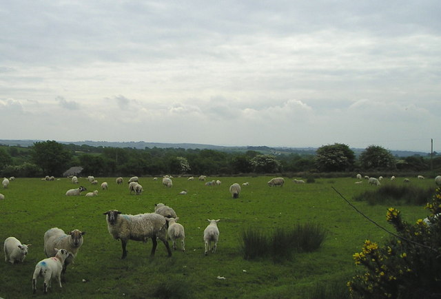
Image: © Marion Phillips Taken: 29 May 2008
This land was probably communal grazing land at one time but is now divided up into fields under individual ownership. The sheep seen grazing here have eaten down the grass well but left the rushes and gorse. It will soon be time for the ewes to be shorn and you can see some of the fleeces are becoming loose with bits of wool lying on the ground.
Images are licensed for reuse under creativecommons.org/licenses/by-sa/2.0
Image Location


Leaflet Map data © OpenStreetMap
Latitude
51.933908
Longitude
-4.559004