Eaglesham to Fenwick Cycle Route
Introduction
The photograph on this page of Eaglesham to Fenwick Cycle Route by Iain Thompson as part of the Geograph project.
The Geograph project started in 2005 with the aim of publishing, organising and preserving representative images for every square kilometre of Great Britain, Ireland and the Isle of Man.

There are currently over 7.5m images from over 14,400 individuals and you can help contribute to the project by visiting https://www.geograph.org.uk
Eaglesham to Fenwick Cycle Route
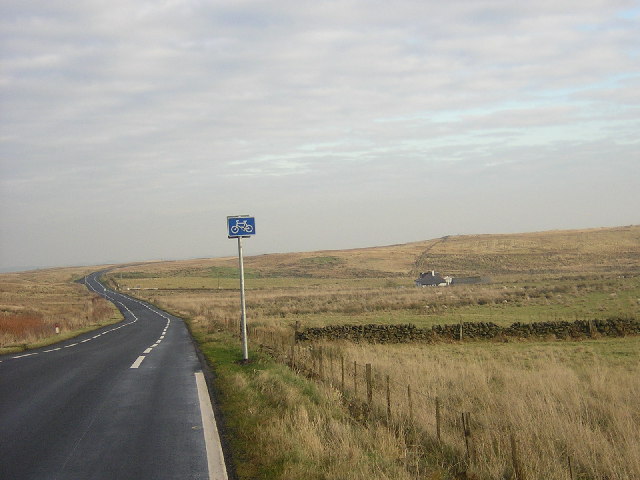
Image: © Iain Thompson Taken: 19 Nov 2005
New Eaglesham to Fenwick Cycle Route Near Melowther. The road markings narrow the previous 2-way Eaglesham Moor road to single-track with passing places and bike lanes, after the construction of the Glasgow Southern Orbital road (Eaglesham Bypass). The markings in East Ayrshire were burnt off from the Council boundary westwards for safety reasons, as many vehicles ignore them.
Images are licensed for reuse under creativecommons.org/licenses/by-sa/2.0
Image Location


Leaflet Map data © OpenStreetMap
Latitude
55.725067
Longitude
-4.319837