High Street, Biggar
Introduction
The photograph on this page of High Street, Biggar by Sandy Gemmill as part of the Geograph project.
The Geograph project started in 2005 with the aim of publishing, organising and preserving representative images for every square kilometre of Great Britain, Ireland and the Isle of Man.

There are currently over 7.5m images from over 14,400 individuals and you can help contribute to the project by visiting https://www.geograph.org.uk
High Street, Biggar
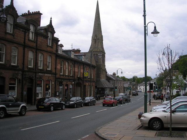
Image: © Sandy Gemmill Taken: 19 May 2008
The view of the Gillespie Centre in Biggar. The former church building (presumably Gillespie or Gillespie Memorial Church) is now a community centre operated in conjunction with Biggar Kirk, the parish church.
Images are licensed for reuse under creativecommons.org/licenses/by-sa/2.0
Image Location


Leaflet Map data © OpenStreetMap
Latitude
55.623391
Longitude
-3.524457