Nettleden Church
Introduction
The photograph on this page of Nettleden Church by Rob Farrow as part of the Geograph project.
The Geograph project started in 2005 with the aim of publishing, organising and preserving representative images for every square kilometre of Great Britain, Ireland and the Isle of Man.

There are currently over 7.5m images from over 14,400 individuals and you can help contribute to the project by visiting https://www.geograph.org.uk
Nettleden Church
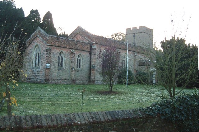
Image: © Rob Farrow Taken: 19 Nov 2005
The church in the village of Nettleden. Note the "missing roof" on the near end. More information about Nettleden and its church here http://www.british-history.ac.uk/report.asp?compid=43285#s1
Images are licensed for reuse under creativecommons.org/licenses/by-sa/2.0
Image Location


Leaflet Map data © OpenStreetMap
Latitude
51.782976
Longitude
-0.522762