Achlyness
Introduction
The photograph on this page of Achlyness by Anne Burgess as part of the Geograph project.
The Geograph project started in 2005 with the aim of publishing, organising and preserving representative images for every square kilometre of Great Britain, Ireland and the Isle of Man.

There are currently over 7.5m images from over 14,400 individuals and you can help contribute to the project by visiting https://www.geograph.org.uk
Achlyness
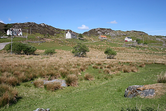
Image: © Anne Burgess Taken: 27 May 2008
Typical croft houses line the roadside, with the croft land below.
Images are licensed for reuse under creativecommons.org/licenses/by-sa/2.0
Image Location


Leaflet Map data © OpenStreetMap
Latitude
58.427288
Longitude
-5.003087