West end of Shieldhill village
Introduction
The photograph on this page of West end of Shieldhill village by paul birrell as part of the Geograph project.
The Geograph project started in 2005 with the aim of publishing, organising and preserving representative images for every square kilometre of Great Britain, Ireland and the Isle of Man.

There are currently over 7.5m images from over 14,400 individuals and you can help contribute to the project by visiting https://www.geograph.org.uk
West end of Shieldhill village
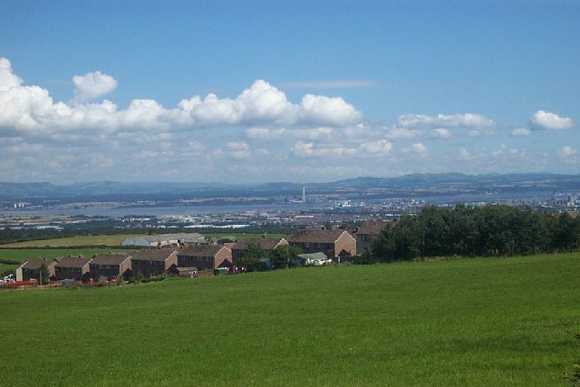
Image: © paul birrell Taken: 22 Aug 2004
View over Firth of Forth with Longannet Power Station and Ochil hills in the distance.
Images are licensed for reuse under creativecommons.org/licenses/by-sa/2.0
Image Location


Leaflet Map data © OpenStreetMap
Latitude
55.971391
Longitude
-3.775275