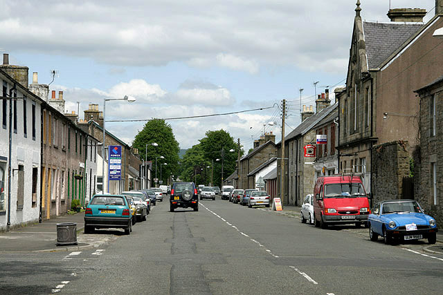
North Hermitage Street, Newcastleton
Introduction
The photograph on this page of North Hermitage Street, Newcastleton by Walter Baxter as part of the Geograph project.
The Geograph project started in 2005 with the aim of publishing, organising and preserving representative images for every square kilometre of Great Britain, Ireland and the Isle of Man.
There are currently over 7.5m images from over 14,400 individuals and you can help contribute to the project by visiting https://www.geograph.org.uk

Image: © Walter Baxter Taken: 24 May 2008
Known locally as Copshaw Holm, Newcastleton was laid out in 1793 to the plan of Mr Keir of Whithaugh for the 3rd Duke of Buccleuch as a handloom-weaving village with gridded streets and lanes. This is the main route through the village viewed from the northeast end of Douglas Square.

