Footpath by Abinger Manor
Introduction
The photograph on this page of Footpath by Abinger Manor by Colin Smith as part of the Geograph project.
The Geograph project started in 2005 with the aim of publishing, organising and preserving representative images for every square kilometre of Great Britain, Ireland and the Isle of Man.

There are currently over 7.5m images from over 14,400 individuals and you can help contribute to the project by visiting https://www.geograph.org.uk
Footpath by Abinger Manor
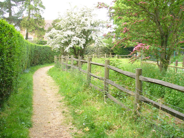
Image: © Colin Smith Taken: 24 May 2008
A glimpse of the manor is possible from the path. Within its grounds are a mesolithic pit and a substantial motte.
Images are licensed for reuse under creativecommons.org/licenses/by-sa/2.0
Image Location


Leaflet Map data © OpenStreetMap
Latitude
51.20182
Longitude
-0.406732