Lodge drive north of Pyle
Introduction
The photograph on this page of Lodge drive north of Pyle by eswales as part of the Geograph project.
The Geograph project started in 2005 with the aim of publishing, organising and preserving representative images for every square kilometre of Great Britain, Ireland and the Isle of Man.

There are currently over 7.5m images from over 14,400 individuals and you can help contribute to the project by visiting https://www.geograph.org.uk
Lodge drive north of Pyle
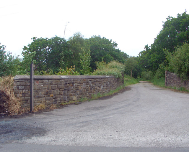
Image: © eswales Taken: 25 May 2008
Looking north west from road in the south east of the grid square up a drive for one Oakdale Lodge which is also the first stage of a signposted footpath running north west across the square (and beyond).
Images are licensed for reuse under creativecommons.org/licenses/by-sa/2.0
Image Location
Latitude
51.543413
Longitude
-3.691168