Sindlesham
Introduction
The photograph on this page of Sindlesham by Rosalind Mitchell as part of the Geograph project.
The Geograph project started in 2005 with the aim of publishing, organising and preserving representative images for every square kilometre of Great Britain, Ireland and the Isle of Man.

There are currently over 7.5m images from over 14,400 individuals and you can help contribute to the project by visiting https://www.geograph.org.uk
Sindlesham
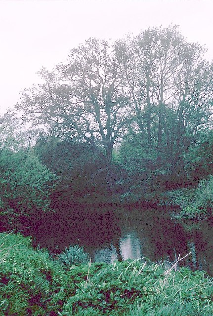
Image: © Rosalind Mitchell Taken: 28 Apr 2005
From the road it's hard to discern much green open space between Reading and Wokingham. However, this square is very largely made up of the water meadows around the tree-lined River Loddon
Images are licensed for reuse under creativecommons.org/licenses/by-sa/2.0
Image Location


Leaflet Map data © OpenStreetMap
Latitude
51.428352
Longitude
-0.901028