Hillside homes
Introduction
The photograph on this page of Hillside homes by Pauline E as part of the Geograph project.
The Geograph project started in 2005 with the aim of publishing, organising and preserving representative images for every square kilometre of Great Britain, Ireland and the Isle of Man.

There are currently over 7.5m images from over 14,400 individuals and you can help contribute to the project by visiting https://www.geograph.org.uk
Hillside homes
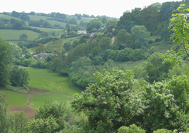
Image: © Pauline E Taken: 24 May 2008
Between Blakeney and Soudley on the eastern edge of the Forest of Dean.
Images are licensed for reuse under creativecommons.org/licenses/by-sa/2.0
Image Location
Latitude
51.776951
Longitude
-2.486089