Eglwys Llwydian Sant, Heneglwys
Introduction
The photograph on this page of Eglwys Llwydian Sant, Heneglwys by Eric Jones as part of the Geograph project.
The Geograph project started in 2005 with the aim of publishing, organising and preserving representative images for every square kilometre of Great Britain, Ireland and the Isle of Man.

There are currently over 7.5m images from over 14,400 individuals and you can help contribute to the project by visiting https://www.geograph.org.uk
Eglwys Llwydian Sant, Heneglwys
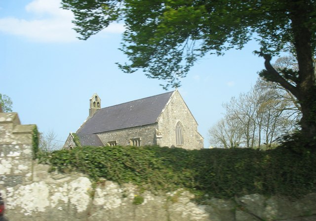
Image: © Eric Jones Taken: 7 May 2008
During its history, the church - standing about a mile south of Bodffordd village - has been known variously as Llan y Saint Llwydion (Church of the Grey Saints) and Mynwent Corbre (Corbre's cemetery). Early documents show that Corbre, an Irishman, was the original patron. Llwydian's name crops up much later and was possibly a legendary figure of local invention. The present building dates back to only 1845.
Images are licensed for reuse under creativecommons.org/licenses/by-sa/2.0
Image Location


Leaflet Map data © OpenStreetMap
Latitude
53.258747
Longitude
-4.366197