Albert Buildings
Introduction
The photograph on this page of Albert Buildings by Keith Evans as part of the Geograph project.
The Geograph project started in 2005 with the aim of publishing, organising and preserving representative images for every square kilometre of Great Britain, Ireland and the Isle of Man.

There are currently over 7.5m images from over 14,400 individuals and you can help contribute to the project by visiting https://www.geograph.org.uk
Albert Buildings
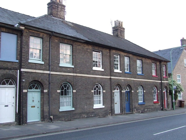
Image: © Keith Evans Taken: 24 May 2008
Inscribed in the line of stone is Albert Buildings, 1840. Out Westgate, Bury St.Edmunds, Suffolk.
Images are licensed for reuse under creativecommons.org/licenses/by-sa/2.0
Image Location


Leaflet Map data © OpenStreetMap
Latitude
52.240348
Longitude
0.709998