Grand Union Canal bridge 199 - Printinghouse Lane
Introduction
The photograph on this page of Grand Union Canal bridge 199 - Printinghouse Lane by David Hawgood as part of the Geograph project.
The Geograph project started in 2005 with the aim of publishing, organising and preserving representative images for every square kilometre of Great Britain, Ireland and the Isle of Man.

There are currently over 7.5m images from over 14,400 individuals and you can help contribute to the project by visiting https://www.geograph.org.uk
Grand Union Canal bridge 199 - Printinghouse Lane
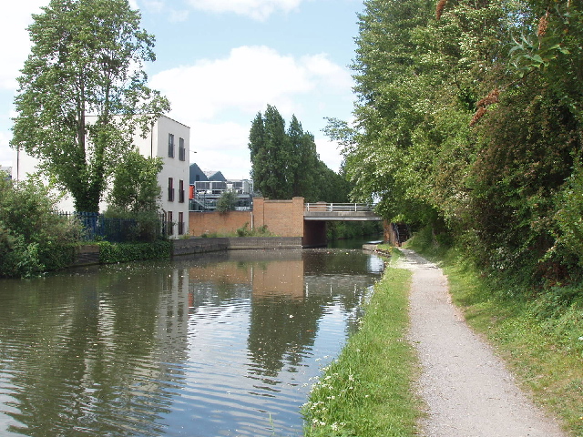
Image: © David Hawgood Taken: 18 May 2008
Houses were built along Printinghouse Lane - then called Workhouse Lane - in the early years of the 20th Century when factories were built between the canal and railway. See Victoria County History extract http://www.british-history.ac.uk/report.aspx?compid=22391 . A sign on the bridge says it is Anchor Bridge, originally built in 1794, rebuilt in 1992 by Costain, designed by Hillingdon Engineering Consultancy.
Images are licensed for reuse under creativecommons.org/licenses/by-sa/2.0
Image Location
Latitude
51.507283
Longitude
-0.425928