Reighton Manor
Introduction
The photograph on this page of Reighton Manor by Paul Glazzard as part of the Geograph project.
The Geograph project started in 2005 with the aim of publishing, organising and preserving representative images for every square kilometre of Great Britain, Ireland and the Isle of Man.

There are currently over 7.5m images from over 14,400 individuals and you can help contribute to the project by visiting https://www.geograph.org.uk
Reighton Manor
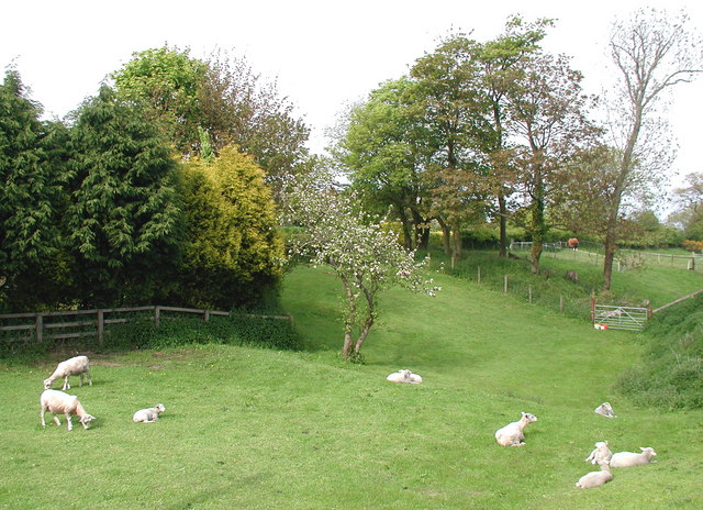
Image: © Paul Glazzard Taken: 22 May 2008
Pasture between Watson's Lane and the Manor House at the bottom of Church Lane, Reighton, on the northeast side of the old course of the A165 which has recently been diverted west of the village.
Images are licensed for reuse under creativecommons.org/licenses/by-sa/2.0
Image Location
Latitude
54.162882
Longitude
-0.271122