Footpath under the line
Introduction
The photograph on this page of Footpath under the line by Andrew Darge as part of the Geograph project.
The Geograph project started in 2005 with the aim of publishing, organising and preserving representative images for every square kilometre of Great Britain, Ireland and the Isle of Man.

There are currently over 7.5m images from over 14,400 individuals and you can help contribute to the project by visiting https://www.geograph.org.uk
Footpath under the line
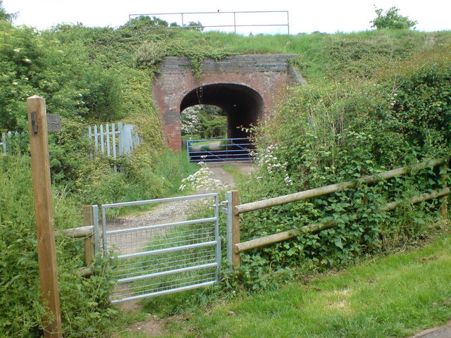
Image: © Andrew Darge Taken: 19 May 2008
One of many footpaths round here, this one uses the accommodation bridge for Upper Battenhall farm's driveway under the railway.
Images are licensed for reuse under creativecommons.org/licenses/by-sa/2.0
Image Location
Latitude
52.173565
Longitude
-2.19663