Rother Valley Park - North end
Introduction
The photograph on this page of Rother Valley Park - North end by David Morris as part of the Geograph project.
The Geograph project started in 2005 with the aim of publishing, organising and preserving representative images for every square kilometre of Great Britain, Ireland and the Isle of Man.

There are currently over 7.5m images from over 14,400 individuals and you can help contribute to the project by visiting https://www.geograph.org.uk
Rother Valley Park - North end
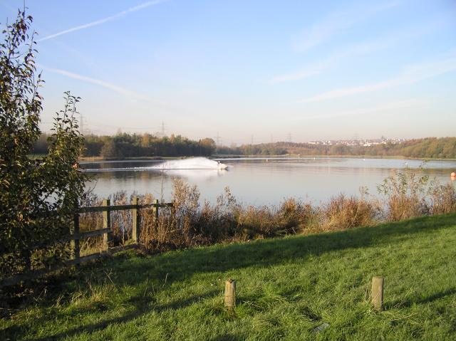
Image: © David Morris Taken: 19 Nov 2005
One of the difficulties of locating the photographer position on the 1940's map is that the lake wasn't there then and the river has been moved. On a crisp November morning (actually nearer 13:30), a couple of hardy souls were taking to the water on their jet skis. Brrr! The photo, looking north, looks towards Swallownest just visible in the distance.
Images are licensed for reuse under creativecommons.org/licenses/by-sa/2.0
Image Location


Leaflet Map data © OpenStreetMap
Latitude
53.346444
Longitude
-1.318007