Offa's Dyke by Hawthorn Hill
Introduction
The photograph on this page of Offa's Dyke by Hawthorn Hill by Chris Heaton as part of the Geograph project.
The Geograph project started in 2005 with the aim of publishing, organising and preserving representative images for every square kilometre of Great Britain, Ireland and the Isle of Man.

There are currently over 7.5m images from over 14,400 individuals and you can help contribute to the project by visiting https://www.geograph.org.uk
Offa's Dyke by Hawthorn Hill
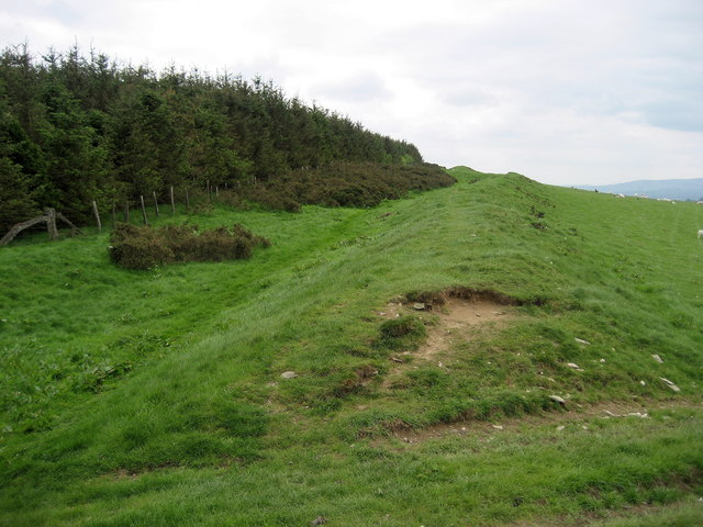
Image: © Chris Heaton Taken: 18 May 2008
This shows the ancient earthwork to good effect, next to a plantation that has been recently cultivated on Hawthorn Hill. The National Trail appears to run on top - which perhaps is not the best way to treat our heritage.
Images are licensed for reuse under creativecommons.org/licenses/by-sa/2.0
Image Location
Latitude
52.304299
Longitude
-3.047251